AIS Projects
Wapato Revival Strategic Plan
The Wapato Revival Plan provides guidance on addressing the growing threat of aquatic invasive species (AIS) for aquatic ecosystem health throughout the Willamette Basin. Intended for use by natural resource managers, scientists, funders, and other stakeholders in the community, the plan emphasizes AIS prevention and early detection and rapid response (EDRR), promotes a prioritized approach for management actions, incorporates restoration, education and outreach, while demonstrating a need for coordinated efforts across the Willamette Basin.
Willamette Basin AIS Projects
Wapato Revival projects focus on restoring and protecting aquatic habitats within the Willamette Basin.
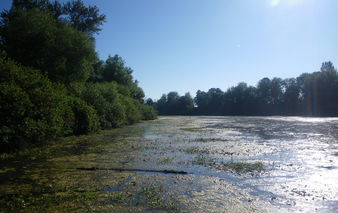
On the ground projects are taking place throughout the Willamette Basin to address infestation of aquatic invasive plants. The most current projects (2020-2021) include:
- City of Eugene: Ludwigia hexapetala treatments at Delta Ponds, Golden Gardens, Amazon Creek, Empire Park Pond, and Walnut Grove Pond, Hyacinth treatments at Golden Gardens
- Willamalane Parks & Recreation District: Yellow flag iris removal in Coast and Middle Fork Confluence
- Oregon Dept. of Fish & Wildlife / Benton Soil & Water Conservation District: Ludwigia hexapetala treatments from Long Tom to Santiam confluence on the Willamette, including Gail Achterman, Collins Bay, and Nymphoides peltata removal at Willamette Park
- Confederated Tribes of the Grand Ronde: Ludwigia peploides removal from Santiam to Yamhill River at Chankawan
- City of Portland-BES: Ludwigia peploides treatment in the Lower Columbia Slough
- Portland Metro: Ludwigia peploides treatments at Smith and Bybee Wetlands Natural Area
- Calapooia Watershed Council: Ludwigia sp. treatments at Bowers Rock State Park
- City of Salem: Ludwigia sp. treatement at Minto Brown Slough
- Long Tom Watershed Council: Floodplain restoration and native plantings at Snag Boat Bend Wildlife Refuge
- Willamette Riverkeeper: Ludwigia sp. treatments at Gail Achterman, Willamette Mission and Nymphoides peltata treatments at Dodson Slough, Coast and areas above and below Hileman Landing and McCartney County Parks, Snag Boat Bend, and Long Tom confluence area above Black Dog Landing, and above Murphy Bar
Currently, project planning maps are available as part of the Wapato Revival Plan, including focused geographic areas (see linked planning maps to the right).
If your organization is working on developing a new project to address aquatic invasives, please contact us with the details so it can be considered by WAIN as part of a comprehensive to prioritize other efforts currently taking place in the Willamette Basin.
Check out this video on one of our more recent project areas at Snag Boat Bend, a wildlife refuge located between Eugene and Corvallis on the floodplain of the Willamette River, in Oregon. This short documentary highlights the history, habitat importance, and restoration activities recently implemented in the area, as well as aquatic invasive weeds, and how individuals can help make a difference in protecting floodplain habitats for salmon and other wildlife species in the Willamette basin. Produced by Willamette Riverkeeper in partnership with Long Tom Watershed Council, US Fish & Wildlife Service, and Friends of the Willamette Valley National Wildlife Refuge Complex, with special thanks to William L. Finley National Wildlife Refuge, River Design Group and Freshwaters Illustrated.
AIS Surveys
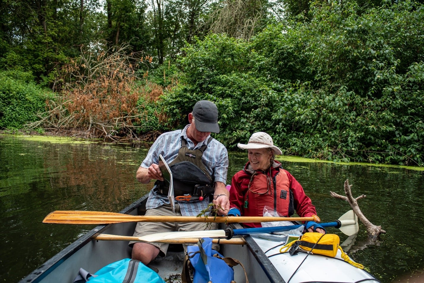
Starting in 2015, WAIN partners have provided consistent monitoring and AIS mapping as part of several grants provided by the Oregon Weed Board, when yellow floating heart (Nymphoides peltata) was first identified in September 2016. This site was treated immediately, with some minor patches escaping downstream. With continued monitoring and spot treatments using hand pulling among other methods, WAIN partners have been able to discourage major populations of yellow floating heart from gaining traction.
Additionally, water primrose, Ludwigia spp. (Ludwigia hexapetala, peploides) treatments have been more effective when informed by real-time mapping data for strategic implementation. The primary mechanism for WAIN surveys is Fulcrum. With a growing a partnership, this system continues to be a valuable resource allowing for a current data flow to help manage future weed management efforts.

Concentrating on smaller patches of priority AIS in alcoves and back channel entries, WAIN partners have been able to slow the spread in certain areas of primary concern for native habitats.


